 distribution map
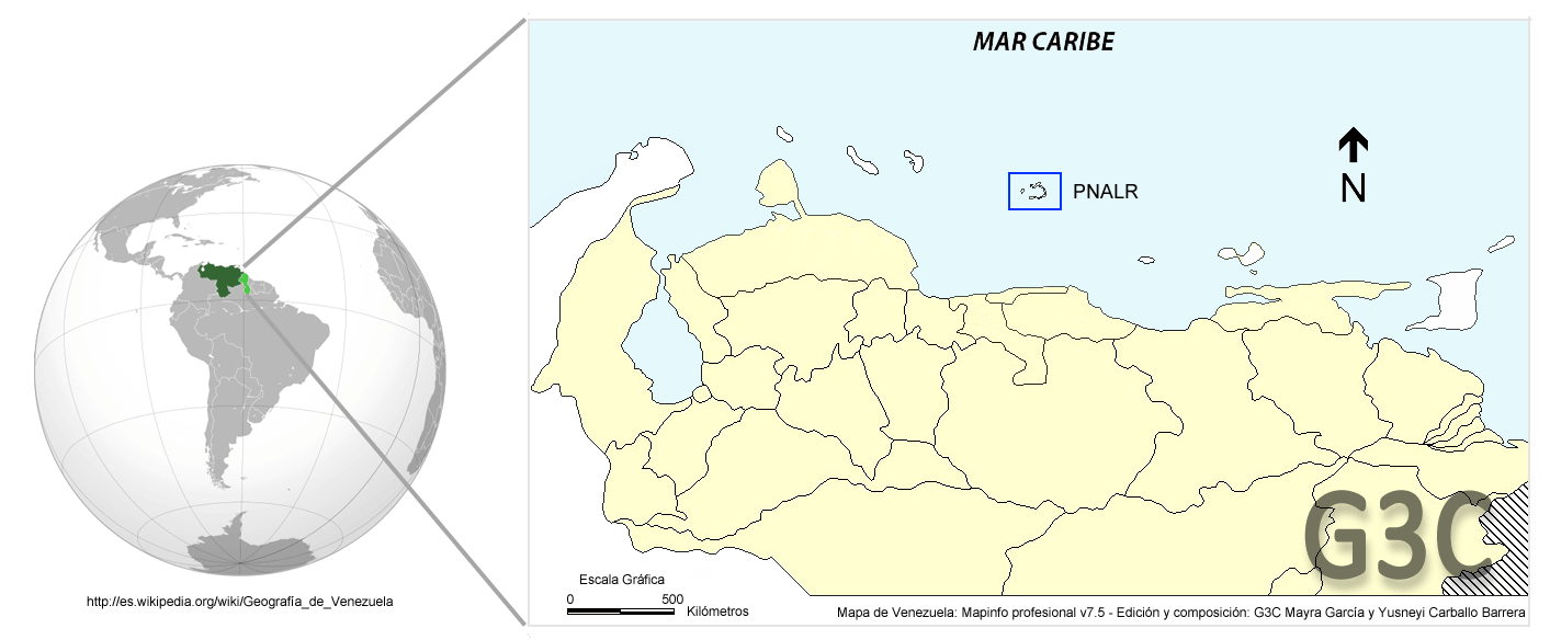 PNALR geographic location
 species of the genus
 gallery
 new search

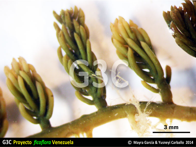
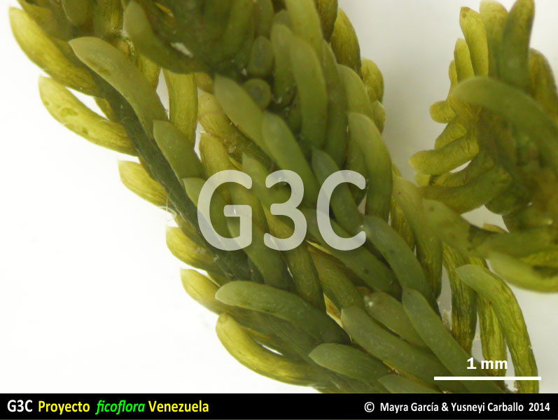
Caulerpa sertularioides f. farlowii (Weber-van Bosse) Børgesen
phylum Chlorophyta › clase Bryopsidophyceae › orden Bryopsidales › familia CaulerpaceaeDescription
Algae formed by a stoloniferous portion and an erect portion up to 5 cm tall, grass green, attached to the substrate by rhizoids. Erect portion occasionally branched, with subcylindrical determinate branches densely and radially covering the central axis, curved adaxially, apex attenuate. Internal structure made up of coenocytic filaments, with trabeculae.
Geographic and Ecological Information
Collected for the project at
-
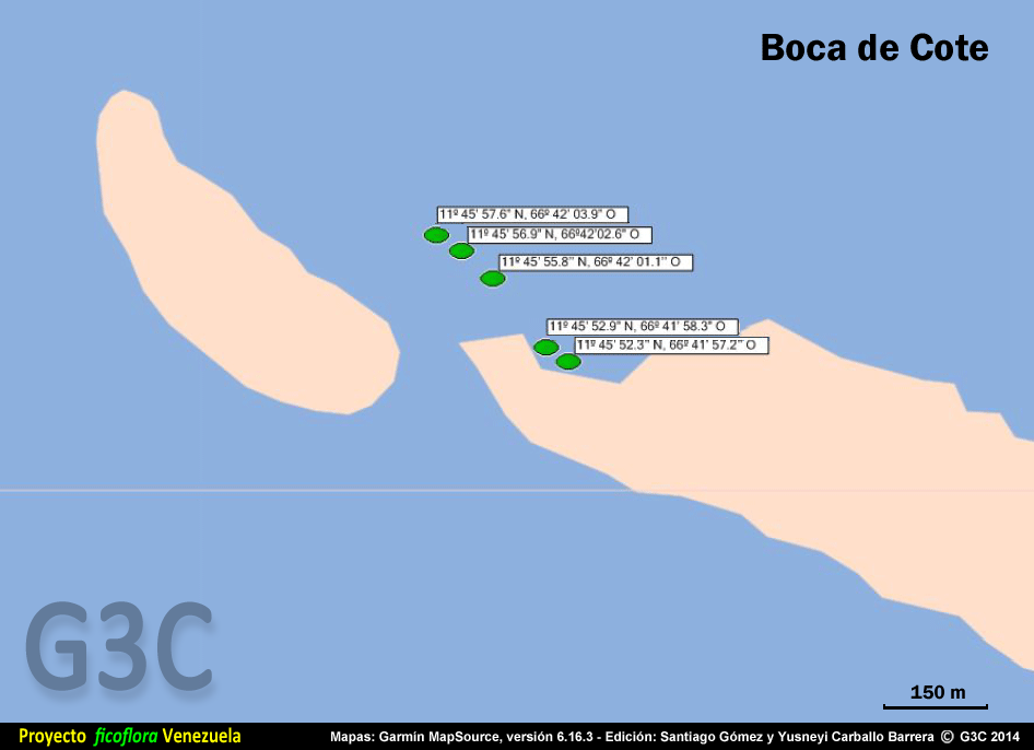
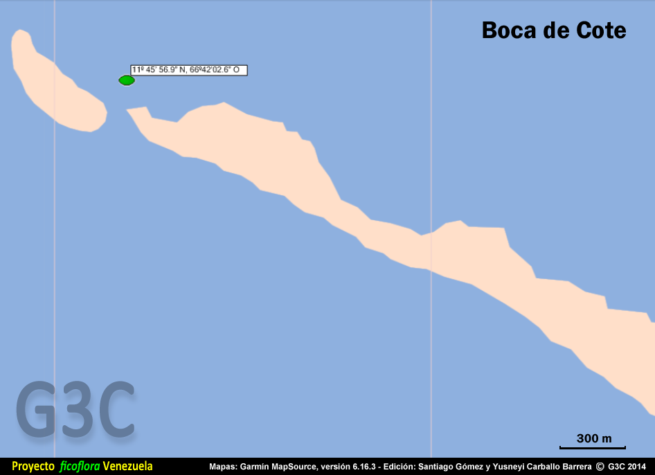
1. Boca de Cote
Geographic coordinates: 11º 45' 56.9'' N, 66º 42' 02.6'' W • UTM coordinates: 750572 E, 1301684 N
Sandy bottom with isolated soft corals or meadows of Halodule sp and Thalassia testudinum, up to 2.4 m deep, very strong waves. -
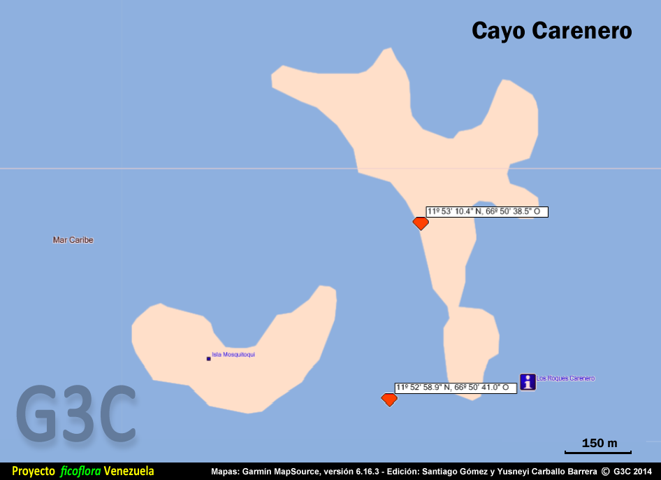
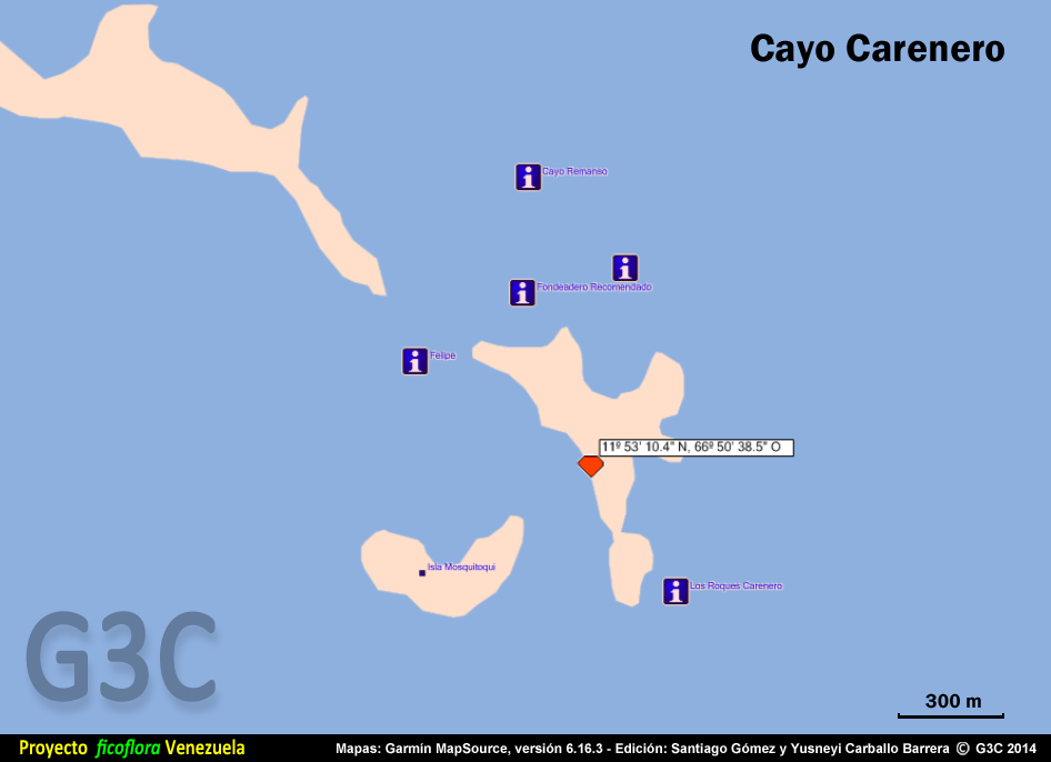
2. Cayo Carenero
Geographic coordinates: 11º 53' 10.4'' N, 66º 50' 38.5'' W • UTM coordinates: 734847 E, 1314883 N
Mangrove, up to 1 m deep, no waves. -
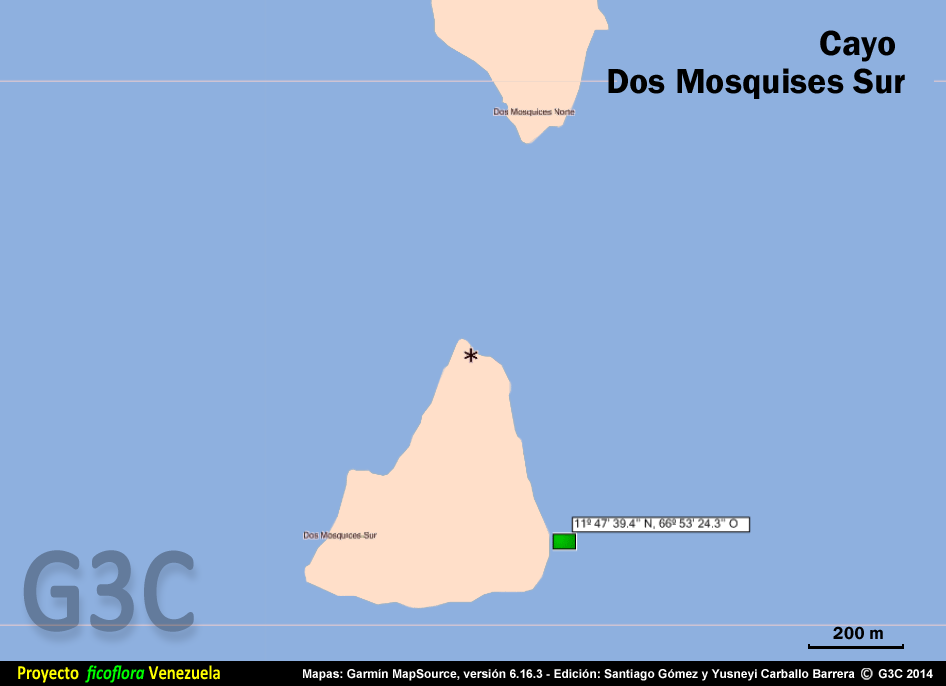
3. Cayo Dos Mosquises Sur
Geographic coordinates: 11º 47' 39.4'' N, 66º 53' 24.3'' W • UTM coordinates: 729903 E, 1304672 N
Thalassia testudium and Syringodium filiforme meadow, up to 60 cm deep, moderate waves. -
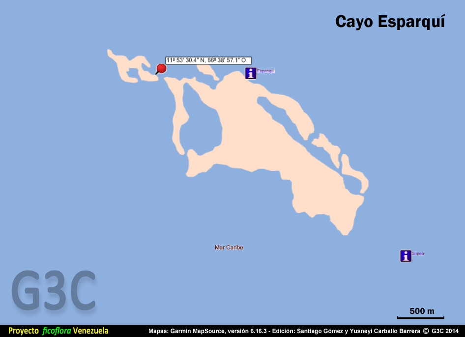
4. Cayo Esparquí
Geographic coordinates: 11º 53' 30.4'' N, 66º 38' 57.1'' W • UTM coordinates: 756075 E, 1315670 N
Sandy bottom, 1.5 m deep, moderate waves. -
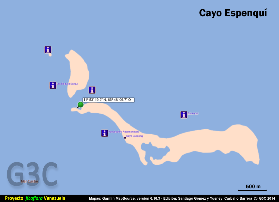
5. Cayo Espenquí
Geographic coordinates: 11º 53' 19.9'' N, 66º 48' 06.7'' W • UTM coordinates: 739438 E, 1315210 N
Coral platform, 60 cm deep, strong waves. -
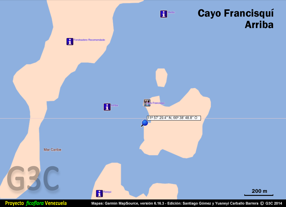
6. Cayo Francisquí Arriba
Geographic coordinates: 11º 57' 29.4'' N, 66º 38' 48.8'' W • UTM coordinates: 756262 E, 1323017 N
Thalassia testudium meadow, 60 cm deep, moderate waves. -
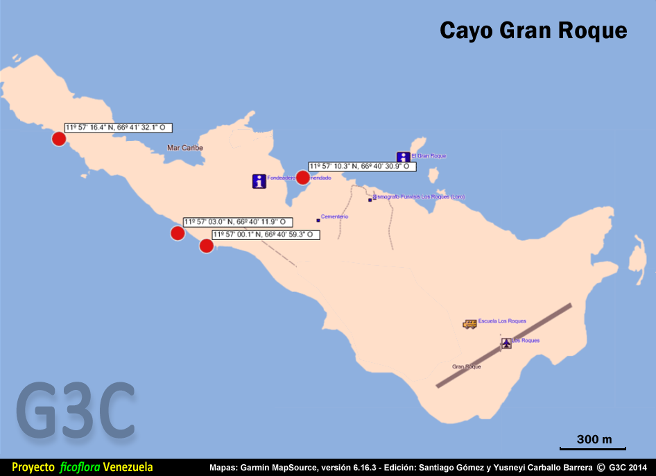
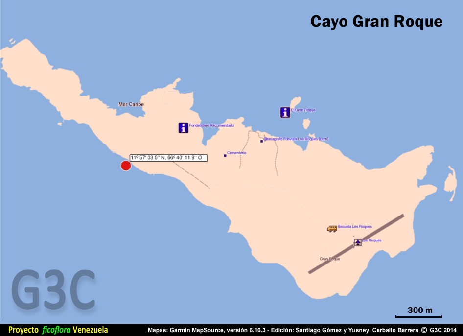
7. Cayo Gran Roque
Geographic coordinates: 11º 57' 03.0'' N, 66º 40' 11.9'' W • UTM coordinates: 753755 E, 1322185 N
Emergent rocky shore, intertidal zone, strong waves. -
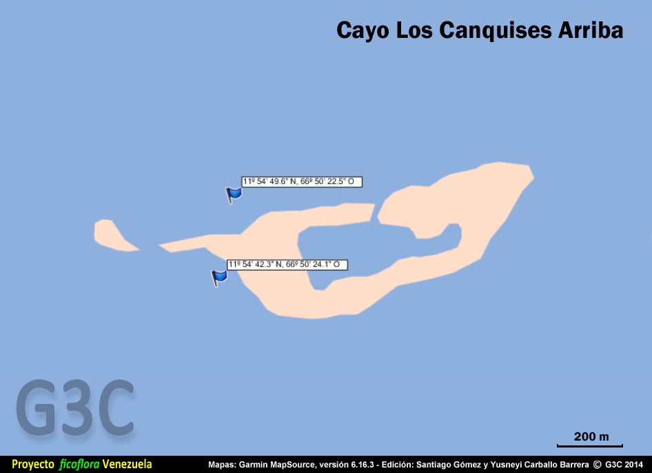
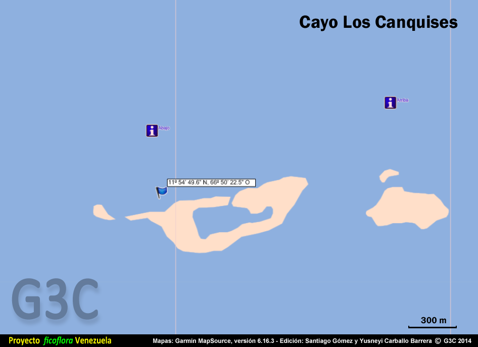
8. Cayo Los Canquises Arriba
Geographic coordinates: 11º 54' 49.6'' N, 66º 50' 22.5'' W • UTM coordinates: 735306 E, 1317937 N
Submerged reef, up to 1 m deep, strong current.
Gallery
|
|
References
Littler, D. S. & M. M. Littler. 2000. Caribbean reef plants. An identification guide to the reef plants of the Caribbean, Bahamas, Florida and Gulf of Mexico. OffShore Graphics, Inc. Washington, 542 pp.